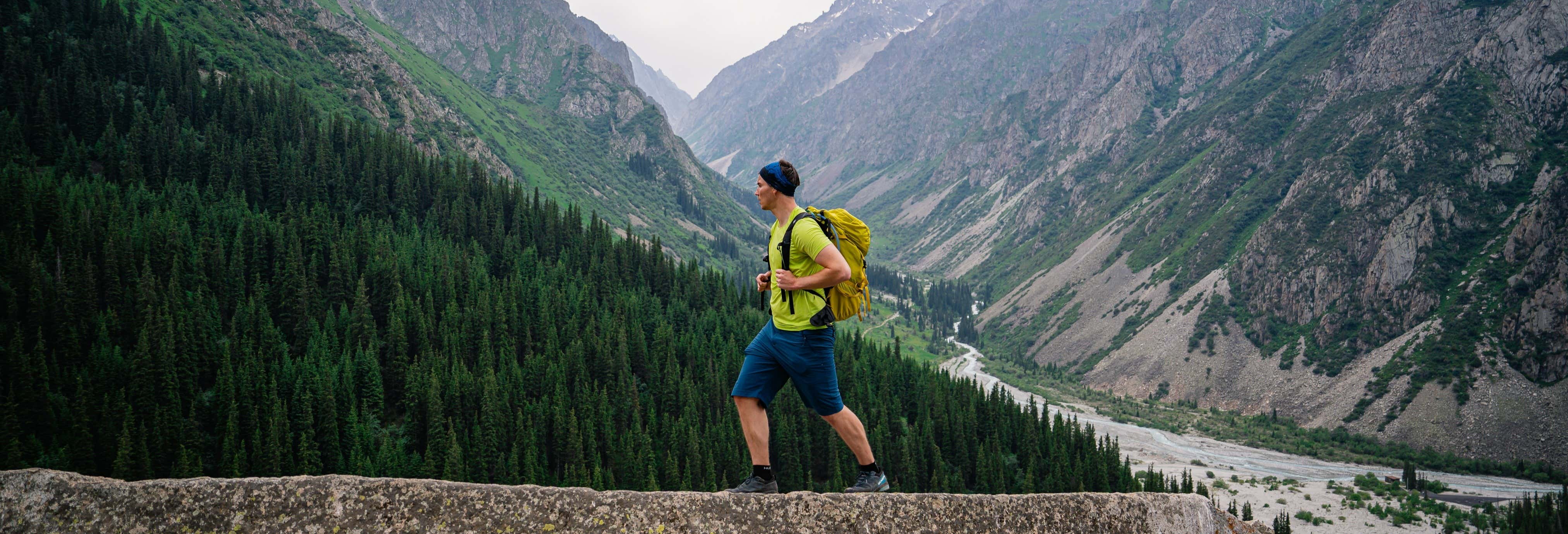
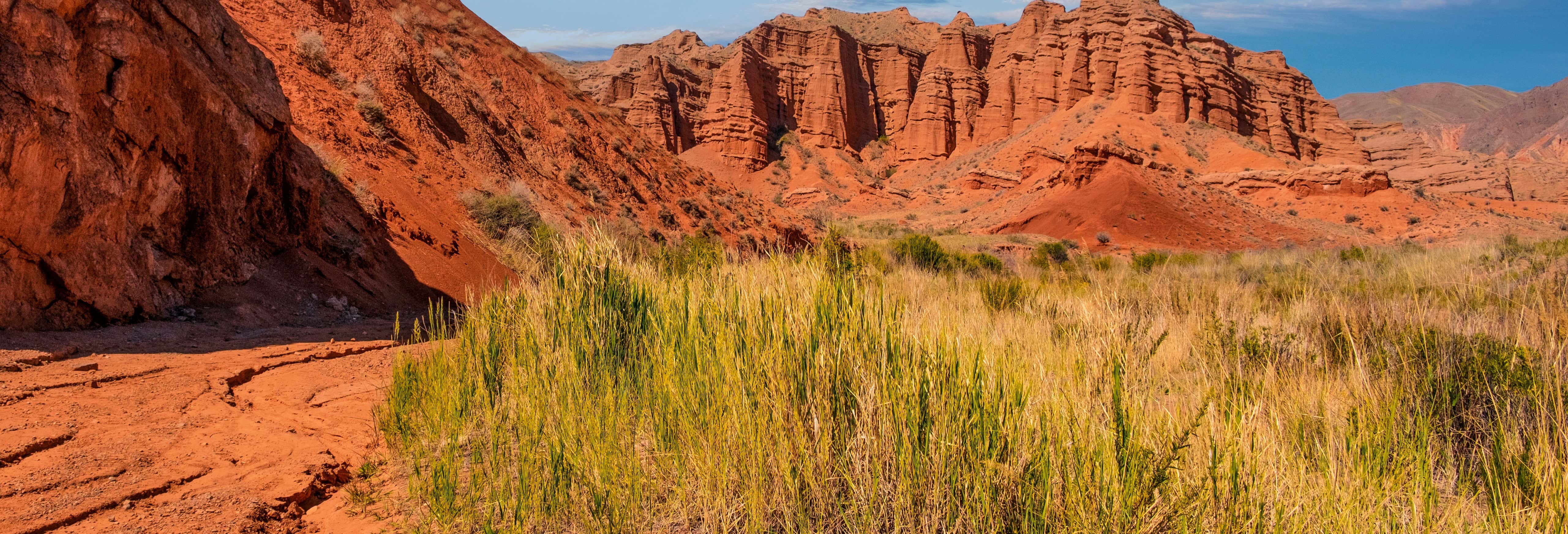
Waterfalls, mountains and incredible landscapes await you on this hiking trail through Ala Archa National Park. A natural paradise just a few kilometres from the capital of Kyrgyzstan!
Activity Details
We'll pick you up from your hotel in Bishkek at the indicated time to begin this hike through Ala Archa National Park. Time for an adventure!
After about 40 km (24.8 mi) by road, we'll reach the Lower Ala-Archa alpine camp, located at an altitude of 2,100 m (6,889 ft). There, we'll leave the vehicle and lace up our boots to begin the hike to the Ak-Sai gorge. The trail will be most exciting!
We'll take a path through a dense forest of Tien Shan fir trees, dotted with juniper bushes, wild roses, honeysuckle, sea buckthorn, elderberry and blackcurrant. We'll also have the opportunity to observe more than 50 types of medicinal plants, such as golden root, St. John's wort, thyme, Issyk-Kul root and yarrow.
Throughout the adventure, we'll make stops to take photos and admire the panoramic view of the Corona, Boks and Ratsek peaks, as well as the Ak-Sai glacier. We'll pass close to the broken heart rock, a most peculiar rock formation, before reaching a small plateau.
The ascent will continue to gain altitude gradually before descending to the Shyrkarytma River through a side gorge and crossing its rapid waters. In summer, the water level can rise considerably in the afternoon, so we'll cross early.
After crossing the river, the trail becomes flat and, after turning left, we'll begin another uphill stretch to the foot of the 20 m (65.6 ft) waterfall. This stage will require special caution, but once there, we'll be rewarded with the view of the waterfall plunging towards the cliffs. In summer, you can even cool off in its icy waters, which are around 10 °C (50 °F). Are you brave enough?
Next, we'll enjoy a picnic at the summit, at an altitude at 2,700 m (8,858 ft), while we admire the landscape of the gorge. We'll savour meat, chicken or fish, fried eggs, vegetables or salad, bread, a chocolate bar, fruit and juice. After this well-deserved rest, we'll descend leisurely to the starting point.
Finally, we'll return to your hotel, where we'll say goodbye after 7 to 8 hours in total.
Important Info
The route is moderately to highly difficult, with steep slopes. The maximum altitude reaches 2,700 m (8,858 ft). Therefore, you must be in good physical shape. In addition, depending on the season, the trail will be dry or covered with snow and ice, so it's important to wear appropriate footwear.
In case of bad weather or unforeseen circumstances, the duration of the trip may vary.